For best results, please enable Javascript in your browser.
Credit Inquires – Alert
Menu
Firm
Services
Projects
People
Careers
Bid Information
Bid Information
Projects on Ad
2026 Bid Results
2025 Bid Results
2024 Bid Results
Contact
Search:
Search
Our Projects
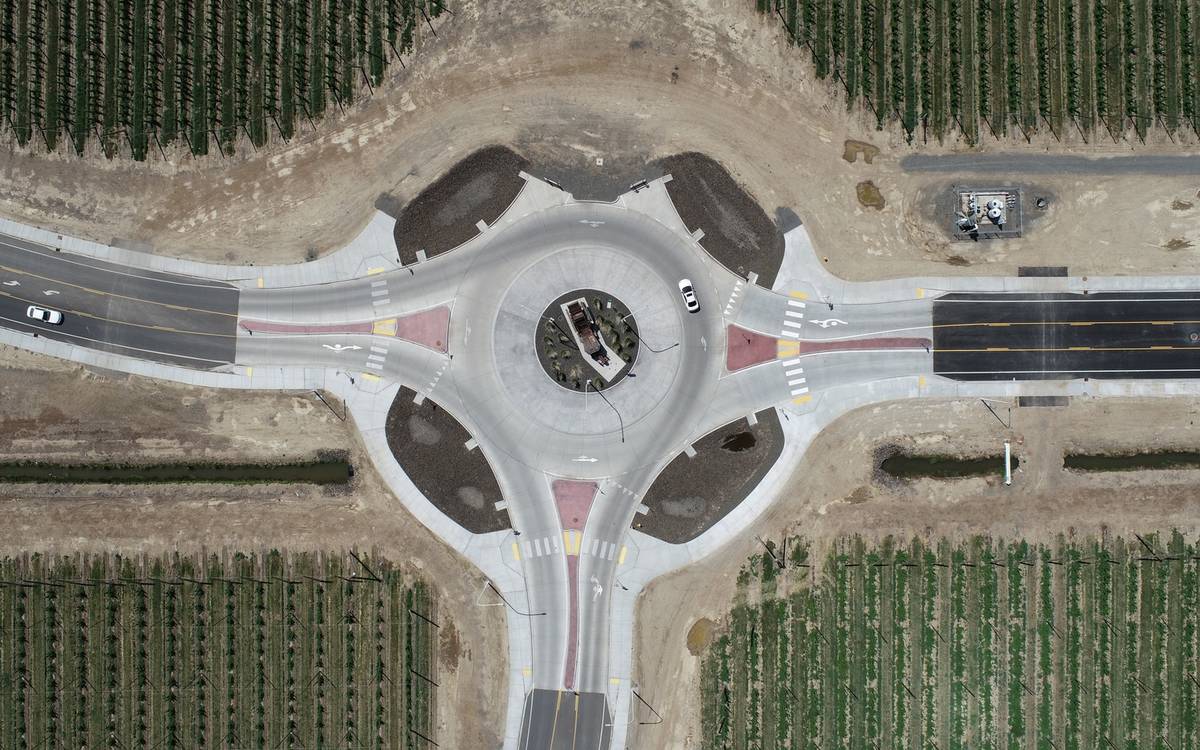
Transportation Improvements
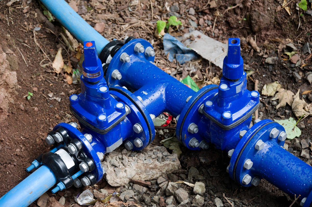
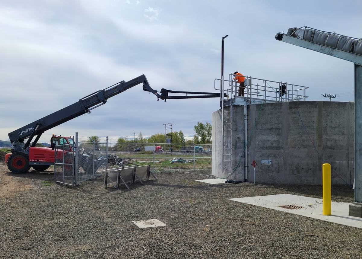
Domestic Water Improvements
Sanitary Sewer Improvements
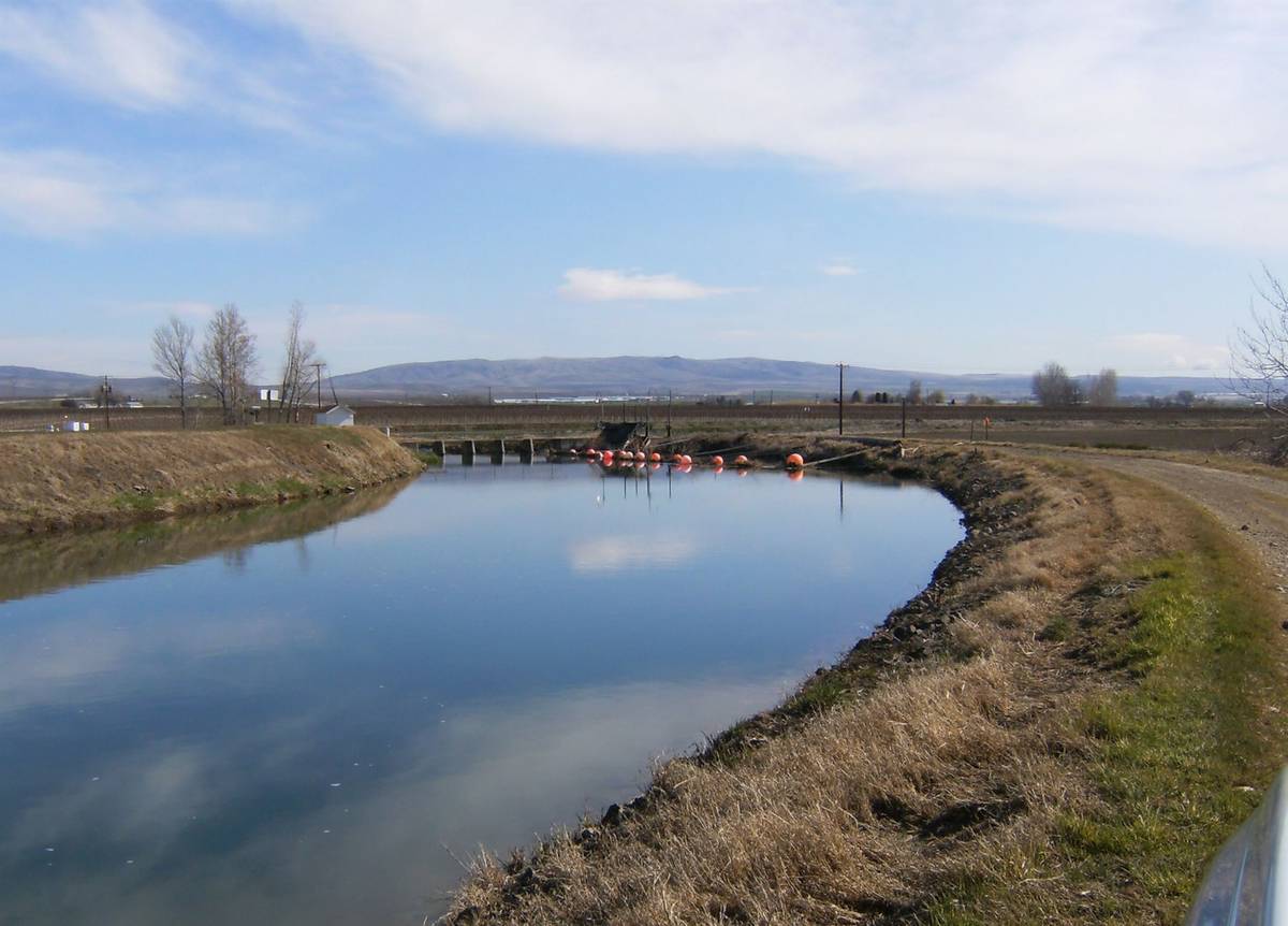
Irrigation Improvements
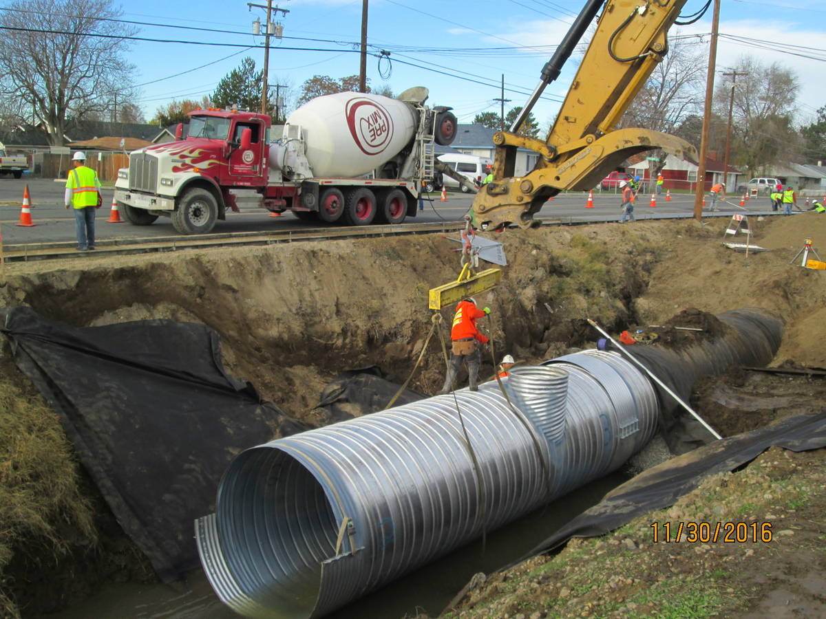
Stormwater Improvements
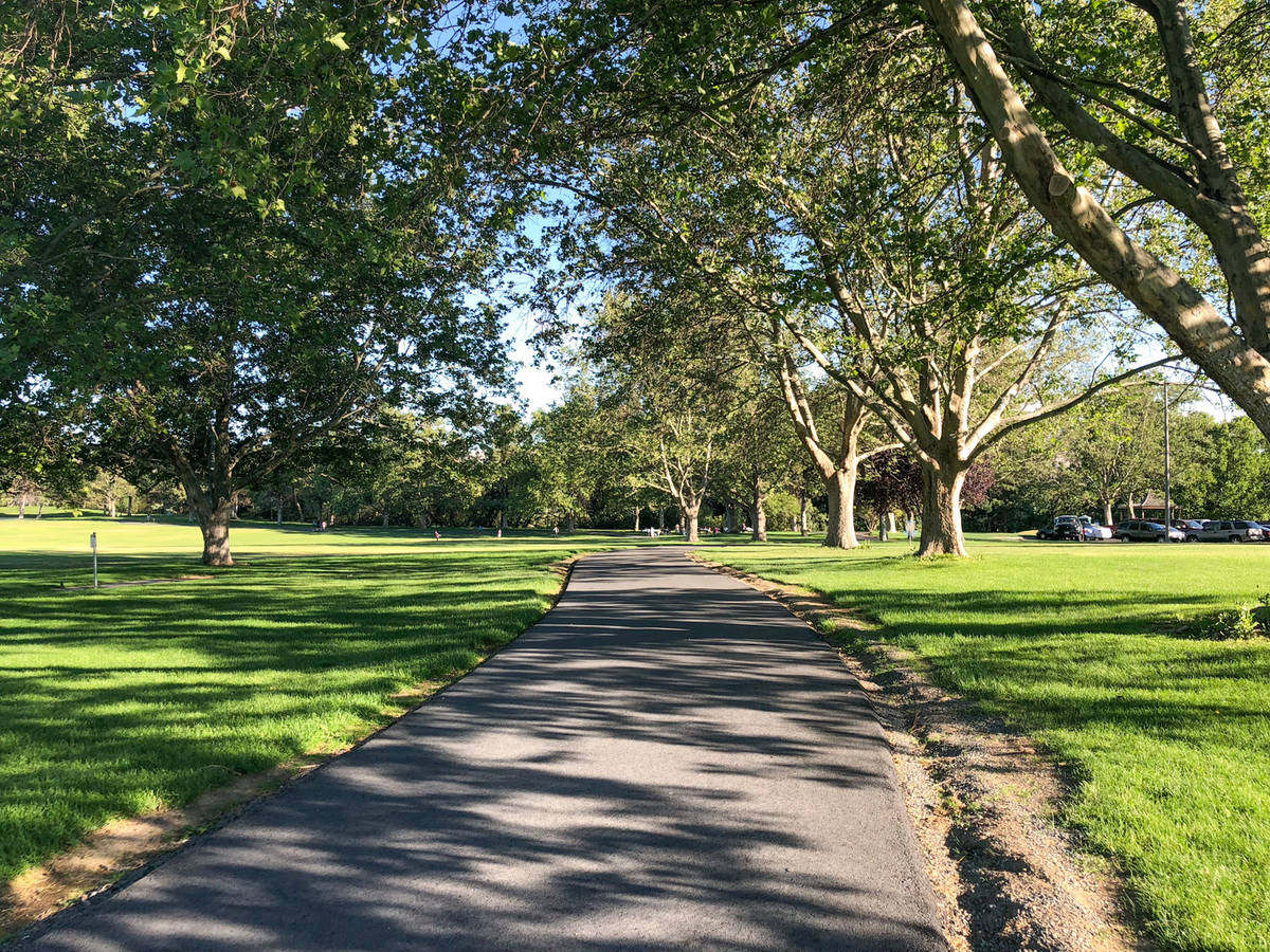
Schools and Parks
Private Development
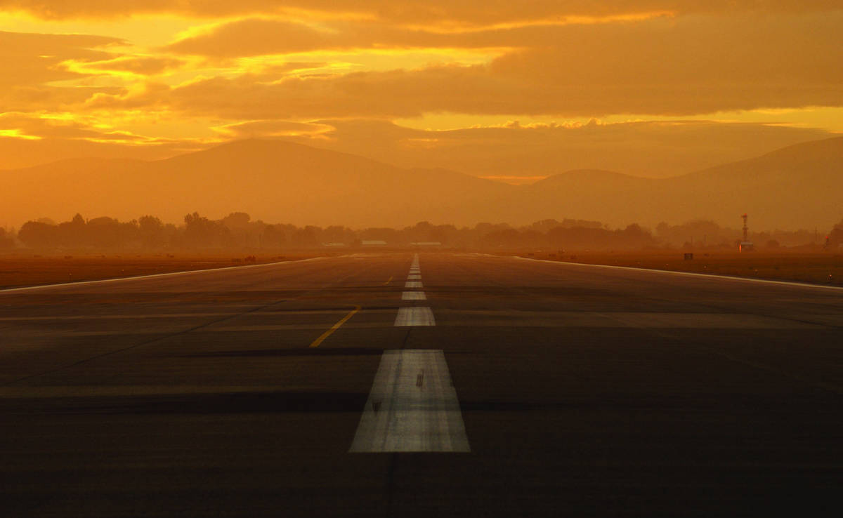
Airport Improvements
Transportation Improvements
Domestic Water Improvements
Sanitary Sewer Improvements
Irrigation Improvements
Schools & Parks
Stormwater Improvements
Private Development
Airport Improvements
Firm
Services
Work
People
Careers
Bid Information
Contact
2803 River Road
Yakima, WA 98902
(509) 966-7000
Contact Us
Facebook
LinkedIn